
On the river · five minutes
Walking the Thames Path from Maidenhead to Cookham
One stretch of the Thames Path, a few hours on your feet, and a village at the end of it that has barely changed its mind about anything.
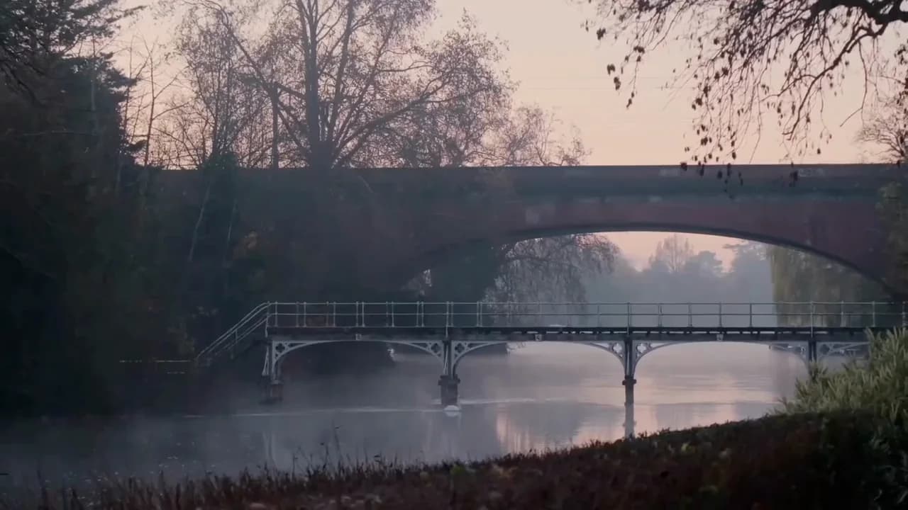
A stone bridge over the Thames in morning mist
The Thames Path National Trail runs the length of the river, from its source in a Gloucestershire field to the Thames Barrier in London, and most of it asks nothing more of you than a decent pair of shoes. The stretch between Maidenhead and Cookham is one of its gentler sections: flat, well signed, and rarely far from a bench if you need one. It is also, by some distance, the easiest way to understand how this part of Berkshire fits together, because the path does the joining up for you.
A path with nowhere to be
Start from Maidenhead Bridge and head north, with the water on your right and the town falling away behind you within a few minutes. The path hugs the bank closely here, past gardens and moored boats, and there is rarely any need to check a map. The Thames itself is the only navigation you require: keep it beside you and you cannot go far wrong.
This is a walk that rewards not hurrying. The path was laid out for people leading horses, not for people trying to make good time, and it keeps that unbothered pace even now. Rowers pass on the water, sometimes a heron holds its ground on the far bank until you are almost level with it, and the town noise you left behind at the bridge simply is not replaced by anything else. That is rather the point of walking beside a river instead of a road.
The surface underfoot is mostly firm towpath, good for ordinary trainers in dry weather and better for something with a bit more grip once the ground has had rain on it. There is no need to plan for a full day unless you want to: the walk to Cookham and back makes a satisfying half-day out, and every lock and bridge along the way offers a natural point to stop, turn around, or simply sit for a while and watch the water do what it does.
Boulter's Lock and the run north
Within twenty minutes or so you reach Boulter's Lock, still a working lock and one of the most storied on the river, alongside Ray Mill Island with its willows and quieter paths. It is a natural place to pause, whether that means a coffee from the café on the island or simply leaning on the railings to watch a boat rise or fall in the lock chamber, which remains a small piece of theatre however many times you have seen it.
Beyond the lock, the path continues north with the river widening and slowing, houses giving way gradually to fields and to the low wooded rise that marks the beginning of the Cliveden estate on the far bank. You do not need to cross to it to feel its presence: the trees climb steeply from the water's edge, and the whole reach has a hush to it that is different from the town stretch you have left behind.
Cock Marsh and the approach to Cookham
As the path nears Cookham it skirts Cock Marsh, a wide expanse of common land managed by the National Trust and grazed, by long tradition, since the thirteenth century. It floods in wet weather and dries into open grassland in summer, and either way it opens the sky out after the closer, tree-lined stretch before it. Cattle sometimes graze here, unbothered by walkers, and the path can turn a little soft underfoot after rain, which is worth knowing if you are wearing anything you are fond of.
From the marsh, Cookham Moor comes into view, the wide green that the painter Stanley Spencer, who spent almost his whole life in the village, once described as a kind of cathedral close, with the high street standing in for the nave. Spencer painted this moor and this village obsessively, seeing something close to the sacred in its ordinary Berkshire dailiness, and it is not hard to see what he meant once you are standing on it with the light going soft in the late afternoon. Even without knowing his work, it is easy enough to feel why a painter might have wanted to stay.
Cookham, and the choice of how to get back
The village itself, when you reach it, is compact and unshowy: a high street, a church, the Stanley Spencer Gallery housed in the small chapel he attended as a boy, and the towpath continuing on towards Bourne End for anyone with energy left. Most walkers stop here, have something to eat, and think about the return leg.
You have choices for getting back. Retracing your steps along the river gives you the same walk in reverse light, which is no bad thing on a clear evening. A taxi is straightforward if your legs have had enough. Or, if you still have an appetite for walking, the lanes and footpaths on to Bray open up a longer loop back towards Maidenhead through the villages rather than along the water.
Either way, this stretch of path is a reminder of how much is within reach on foot from the Club, laid out in a longer guide to the riverbank if you want to see the whole picture before you set out. A walk like this is best followed by very little: a hot bath, a fire if the season allows it, and a bed that does not ask you to get up early for a train the next morning. The path will still be there when you want it again.
Stay the night
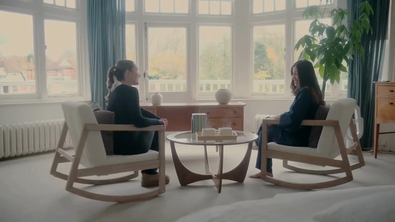
Everything above reads differently from a room a few steps from the water. Come for one night or a long weekend and let the river set the pace.
Book a stayFrom the Observatory
The River Arts Observatory turns questions like this into ongoing research, with the women who take part in it. Read its insights.